How to catch Ice Age Man using Digital Reindeer
What would happen if we assumed ancient man was intelligent?
One man did just that, and I haven’t been able to stop talking about it since, which, incidentally, is a substantial reason to have 10 children, all of which you homeschool. Captive audience.
Professor John O’Shea is an archaeologist with the University of Michigan, who likes to read. (It’s a good habit. Highly recommend.) One day, he was reading a book about subarctic reindeer* hunters and the stone structures they use to direct the animals. He was also studying a topographical map of the bottom of Lake Huron. The map included a feature known as Six Fathom Shoal, a continuous underwater ridge connecting southern Ontario to northeast Michigan. During the last days of the Ice Age, that ridge would have been above water, separating Lake Huron into two lakes. As John studied the map and read about the hunters, he realized that it the ridge would have been great place to hunt reindeer thousands of years ago. So he took a team and scanned the lake bottom.
It wasn’t easy. The underwater ridge encompasses hundreds of square miles of lakebed, and just reaching the site required a 60 mile trip over unpredictable water. Expectations were low. Often the weather was too dangerous to even think about sailing, but on the rare occasions when they could get out of their port in Alpena, they used side scanning sonar to create a map of the lake bottom. One day, by “dumb luck” they stumbled upon something that maybe only John would have expected or recognized; a line of rocks.
Stick with me here.
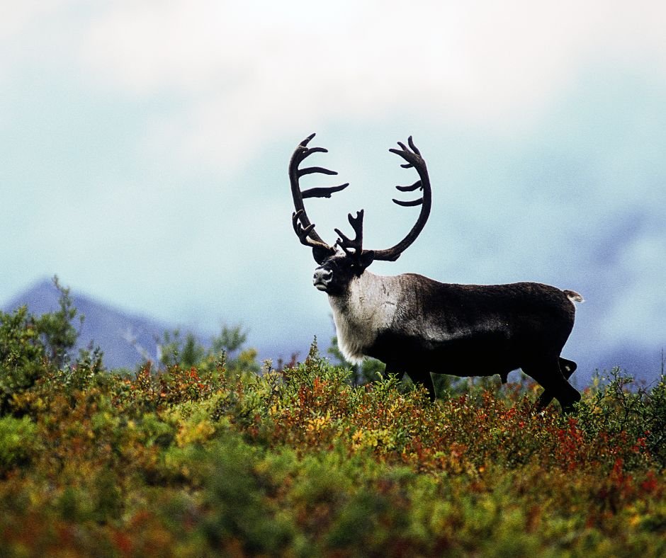
You see, reindeer are essentially British. They like queues. Lines. Geometry, one might say, is their love language. To direct reindeer, all one needs to do is to draw a line on the ground, usually with stones. This is called a “drive line.” When the reindeer encounter the line, they will walk along it, wherever it leads. Not unlike Harold and the Purple Crayon. The line of rocks John O’Shea found on the bottom of the lake looked a lot like a drive lane.
Further investigation by ROV and later, divers, revealed it was indeed a man-made drive lane, pointing towards a corral and a blind where the hunters could wait to kill the animals.
An incredible, career-changing, history-making discovery. But it gets better.
Next, John teamed up with Bob Reynolds from Wayne State University, and together they created a digital topographical map of Six Fathom Shoal during the Ice Age. They simulated rain, and the map filled with rivers, lakes, waterfalls, marshes and creeks. They enlisted botanists to look at the landscape and predict where different plants would have grown. And once the computer world was complete, they did the next sensible thing.
They turned an entire herd of AI reindeer loose on the landscape.

Initially, the AI reindeer had an annoying habit of walking off cliffs, gliding on stiff, pixelated legs to a swift digital death. The programming took a while to tweak, but as the weeks went on, the AI reindeer took on an increasingly lifelike set of behaviors. The herd was sent from one side of Six Fathom Shoal to the other, and patterns emerged as they learned which routes were best.
Then they asked modern reindeer hunters from Alaska and Canada to walk through the virtual landscape on computers, pointing out the best locations for blinds, campsites, and caches. They took intelligent human beings and asked them where they would hunt and then assumed that ancient man would hunt in the same places. Shocking.
With this information in hand, they returned to inspect the sea floor. And that’s how they discovered “drop site 45,” Right in the location pinpointed as a choke site for the AI reindeer.
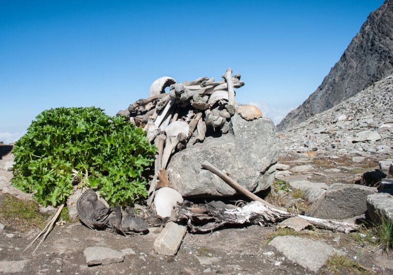
This hunting site is the most sophisticated of its kind we have discovered to date. It includes a drive line, blinds, fire pits, and stone rings that indicate places where the hunters may have camped. They also found stone structures identical to those used by subarctic hunters to store caches of meat during the freezing winter months. Further investigation revealed stone tools, including one made with obsidian from Oregon.
Yep. Oregon.
Wagontire, Oregon, to be exact, over 2,000 miles away from the underwater ridge where it was found. Not bad for Ice Age hunters.
“None of this matches the models we had about peoples in this region… you have to go back and be like, ‘All right, now we have this new data, what does that mean for what we thought about peoples that were living in the Great Lakes?’ You have to rewrite the story.”
– Ashley Lemke, Professor at the University of Wisconsin Milwaukee
She’s right, of course, but what could we accomplish if we used the “AI reindeer approach” more often? If we started with the assumption that man was created intelligent and capable, as the Bible teaches?
Computer models and sonar can recreate the Ice Age shorelines along the entire globe. What would happen if we looked at those maps and asked where we would build our cities, ports or villages? In some places, accumulated sediment has probably buried any Ice Age structures, but some remain. At the moment, our preferred method of finding these sites is dumb luck. That’s how we discovered a similar hunting drive line under the Baltic sea. The entire underwater world of Doggerland was also discovered by a series of accidents.
But what if we used less accidents and more “AI reindeer”?
*Reindeer is the fun name for Caribou. For this article, I refer to them as “reindeer” because I’m not a party pooper, and neither are you.